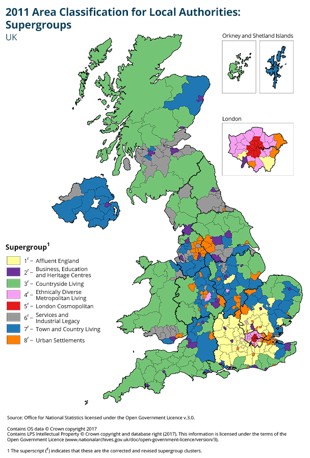
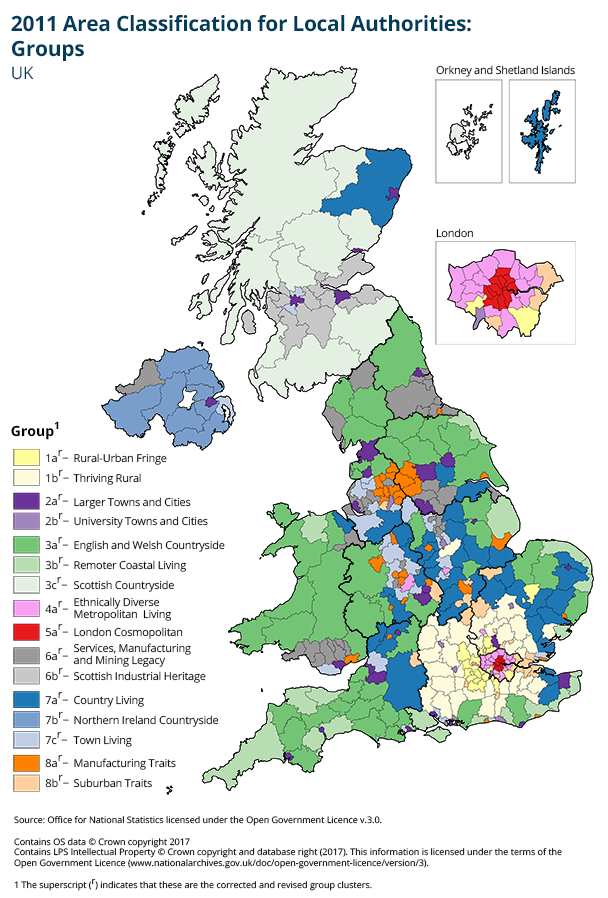
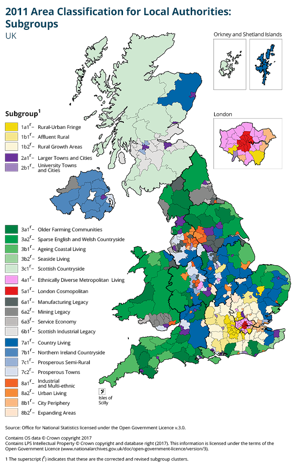
Local authority districts
The maps are available for each different level of the classification – supergroup, group and subgroup.


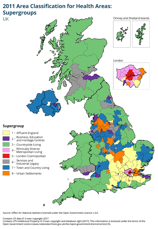
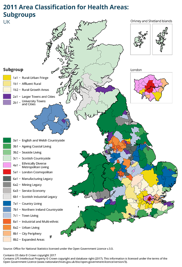
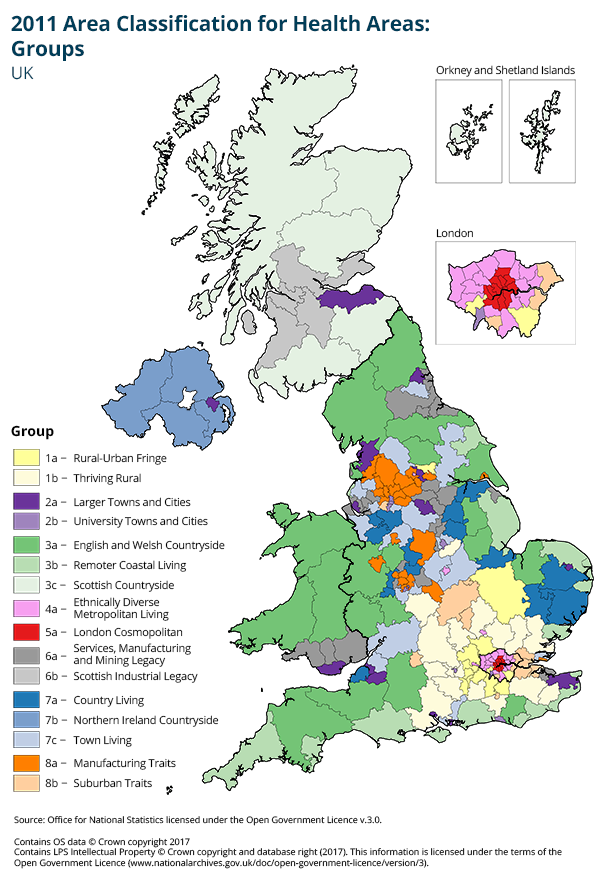
Health areas
The maps are available for each different level of the classification – supergroup, group and subgroup.

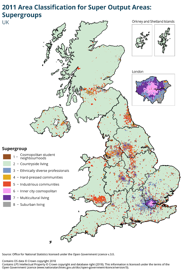
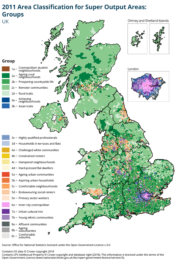
Super Output Areas
The maps are available for both levels of the classification – supergroup and group.
Output Areas
Maps showing the output areas covered by the supergroups, groups and subgroups with the 2011 area classification for output areas.
Map of Selectable 2011 OAC Groups (9.88 Mb Pdf)
Map of Selectable 2011 OAC Supergroups (6.06 Mb Pdf)
Update 15 April 2015
An error was found in the labelling of two census variables (numbered 32 and 33 in the supporting documentation) used in helping to define two subgroups. As a result two subgroups have now been renamed:
4a1 is now Social Renting Young Families (previously Private Renting Young Families) 4a2 is now Private Renting New Arrivals (previously Social Renting New Arrivals)
All supporting material has been updated to reflect these changes, in particular this affects references to households privately renting and socially renting in the Pen Portraits.
ONS apologises for any inconvenience caused.