Central Bedfordshire (E06000056) is a unitary authority in the East of England.
Areas in and around Central Bedfordshire
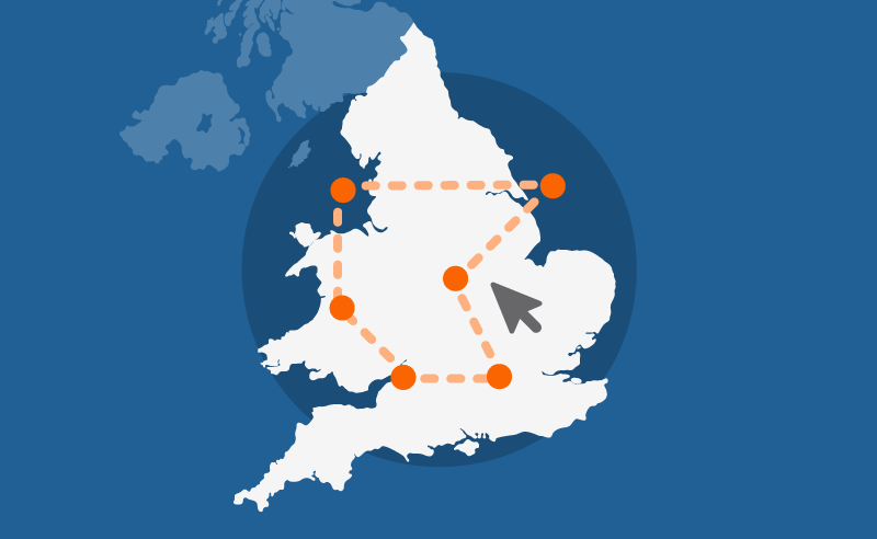
Choose a larger area
Areas in Central Bedfordshire
Wards
- Ampthill
- Ampthill
- Arlesey
- Arlesey and Fairfield
- Aspley and Woburn
- Aspley and Woburn
- Barton-le-Clay
- Barton-le-Clay and Silsoe
- Biggleswade East
- Biggleswade North
- Biggleswade South
- Biggleswade West
- Caddington
- Caddington
- Clifton, Henlow and Langford
- Cranfield and Marston Moretaine
- Cranfield and Marston Moretaine
- Dunstable Central
- Dunstable East
- Dunstable North
- Dunstable South
- Dunstable West
- Dunstable-Central
- Dunstable-Icknield
- Dunstable-Manshead
- Dunstable-Northfields
- Dunstable-Watling
- Eaton Bray
- Eaton Bray
- Flitwick
- Flitwick
- Heath and Reach
- Heath and Reach
- Houghton Conquest and Haynes
- Houghton Conquest and Haynes
- Houghton Hall
- Houghton Regis East
- Houghton Regis West
- Leighton Buzzard North
- Leighton Buzzard South
- Leighton-Linslade North
- Leighton-Linslade South
- Leighton-Linslade West
- Linslade
- Meppershall and Shillington
- Northill
- Northill
- Parkside
- Potton
- Potton
- Sandy
- Sandy
- Shefford
- Shefford
- Silsoe and Shillington
- Stotfold
- Stotfold and Langford
- Tithe Farm
- Toddington
- Toddington
- Westoning, Flitton and Greenfield
- Westoning, Flitton and Greenfield
Parishes
- Ampthill
- Arlesey
- Aspley Guise
- Aspley Heath
- Astwick
- Barton-le-Clay
- Battlesden
- Biggleswade
- Billington
- Blunham
- Brogborough
- Caddington
- Campton and Chicksands
- Chalgrave
- Chalton
- Clifton
- Clophill
- Cranfield
- Dunstable
- Dunton
- Eaton Bray
- Edworth
- Eggington
- Eversholt
- Everton
- Eyeworth
- Fairfield
- Flitton and Greenfield
- Flitwick
- Gravenhurst
- Harlington
- Haynes
- Heath and Reach
- Henlow
- Hockliffe
- Houghton Conquest
- Houghton Regis
- Hulcote and Salford
- Husborne Crawley
- Hyde
- Kensworth
- Langford
- Leighton-Linslade
- Lidlington
- Marston Moreteyne
- Maulden
- Meppershall
- Millbrook
- Milton Bryan
- Moggerhanger
- Northill
- Old Warden
- Potsgrove
- Potton
- Pulloxhill
- Ridgmont
- Sandy
- Shefford
- Shillington
- Silsoe
- Slip End
- Southill
- Stanbridge
- Steppingley
- Stondon
- Stotfold
- Streatley
- Studham
- Sundon
- Sutton
- Tempsford
- Tilsworth
- Tingrith
- Toddington
- Totternhoe
- Westoning
- Whipsnade
- Woburn
- Wrestlingworth and Cockayne Hatley
MSOAs
- Ampthill and Millbrook
- Arlesey and Henlow
- Barton-le-Clay and Upper Sundon
- Biggleswade East
- Biggleswade West
- Blunham, Caldecote and Broom
- Caddington and Slip End
- Clifton, Meppershall and Stondon
- Cranfield and Aspley Guise
- Dunstable Central
- Dunstable East
- Dunstable Manshead
- Dunstable South
- Dunstable West
- Eaton Bray, Whipsnade and Holywell
- Flitwick East
- Flitwick West
- Houghton Conquest and Clophill
- Houghton Regis North
- Houghton Regis South
- Leighton Buzzard Central
- Leighton Buzzard North and East
- Leighton Buzzard South East
- Linslade East
- Linslade West
- Marston Moretaine, Lidlington and Woburn
- Potton
- Sandy North
- Sandy South
- Shefford and Shillington
- Stotfold
- Toddington, Heath and Reach
- Westoning, Harlington and Silsoe
Facts and figures for Central Bedfordshire

Census maps
View Census 2021 data for Central Bedfordshire on a map.

Changes over time
Read how Central Bedfordshire has changed since the 2011 Census.
Custom profiles
Build a custom area profile for Central Bedfordshire using Census 2021 data.

Area profiles
View Census 2021 data tables for Central Bedfordshire on Nomis, an ONS service (external).

Subnational indicators
Find out how Central Bedfordshire compares on indicators such as weekly pay and healthy life expectancy.

Mortgage calculator
See how average house prices and changing interest rates affecting monthly mortgage repayments in Central Bedfordshire.

Census quiz
Take our quiz and test your knowledge of Central Bedfordshire.

Health index
See how Central Bedfordshire compares to the rest of England on different health measures.

Income deprivation
Explore income deprivation in Central Bedfordshire at a neighbourhood level.